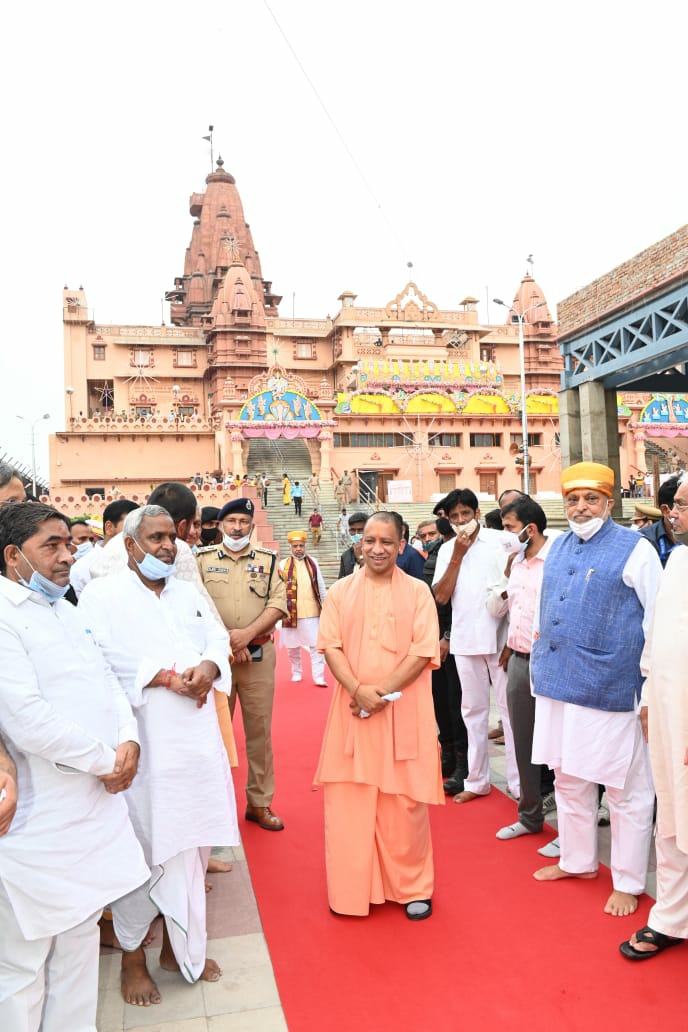
2025.02.08 (Vrindavan Today News): The Central Water Commission of India has announced a comprehensive drone survey of the floodplain areas along the Yamuna River, stretching from Saharanpur to Prayagraj. This initiative aims to assess the impact of seasonal flooding, monitor encroachments, and facilitate informed policy decisions for effective riverbank management.
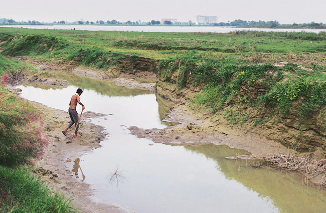
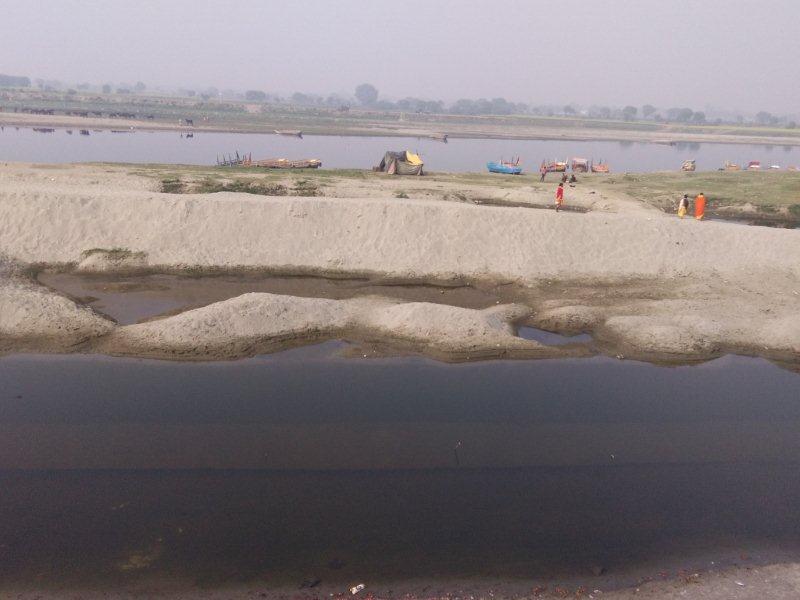
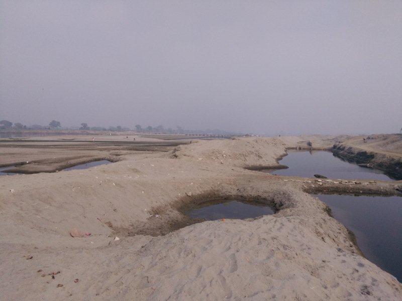
The survey will cover multiple districts along the Yamuna’s course, including Mathura, where the river traverses through key regions such as Sadar, Mant, Mahavan, and Chhata tehsils. Spanning approximately 92 kilometers in the district, the floodplain study will provide crucial data on the extent of submergence, land use patterns, and potential risks posed to local communities.
According to Rakesh Kumar, Assistant Engineer of the Irrigation Department, the survey will analyze both the left and right banks of the river. The designated flood-prone zones extend 4.65 kilometers from the left bank and 3.71 kilometers from the right, covering a significant portion of the river’s natural floodplain. A joint team comprising officials from the Central Water Commission and the Irrigation Department will oversee the survey operations, ensuring accuracy and reliability in data collection.
Utilizing drone technology for this survey marks a transformative shift in environmental monitoring. Equipped with high-resolution imaging and geospatial mapping capabilities, drones will provide real-time data on riverbank erosion, unauthorized constructions, and changes in the floodplain ecosystem. This method not only enhances efficiency compared to traditional ground surveys but also minimizes human intervention in potentially hazardous areas.
Planned Interventions and Future Measures
To mitigate flood risks and prevent soil erosion, the Irrigation Department has proposed the construction of protective embankments, locally referred to as muddiyas, at intervals of 200 meters along both banks. However, the execution of this project awaits budgetary approvals. Once funds are allocated, the embankments will serve as a crucial barrier against flood-induced damage to agricultural lands and residential settlements.
Naveen Kumar, Executive Engineer of the Upper Division Irrigation Department, confirmed that the government has officially notified the designated flood zones. Following the survey, regulatory measures will be implemented to ensure sustainable development along the riverbanks, balancing ecological conservation with human settlements.
The Yamuna River, one of the most important waterways in India, supports millions of people through agriculture, industry, and daily sustenance. However, unchecked encroachments, deforestation, and climate-induced changes have exacerbated flooding events in recent years. By leveraging advanced aerial surveying techniques, authorities aim to develop a more data-driven approach to river basin management.
Moreover, this initiative aligns with global efforts toward resilient urban planning and climate adaptation strategies. Similar projects in Europe, North America, and East Asia have demonstrated the effectiveness of drone-based river monitoring in mitigating flood risks and ensuring sustainable land use policies.
The forthcoming drone survey of the Yamuna floodplain is a crucial step in redefining water governance in India. By integrating modern technology with traditional knowledge, the initiative seeks to strike a balance between environmental conservation and human development. As the data is analyzed and subsequent policies take shape, this project could serve as a model for other riverine ecosystems facing similar challenges worldwide.
The success of this initiative will not only safeguard lives and livelihoods but also contribute to a broader vision of sustainable river management—where nature and human civilization coexist in harmony.