2025.06.02 (Vrindavan Today News): A sweeping drone survey commissioned by the Mathura-Vrindavan Development Authority (MVDA) has revealed a staggering 1,266 unauthorized constructions on the Yamuna river’s floodplains in Vrindavan. This digital mapping initiative is part of a broader campaign to address years of unchecked encroachments on ecologically sensitive land.
Encroachments in the Heart of the Sacred Landscape
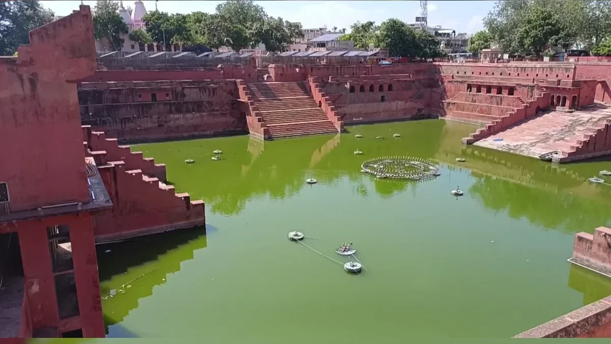
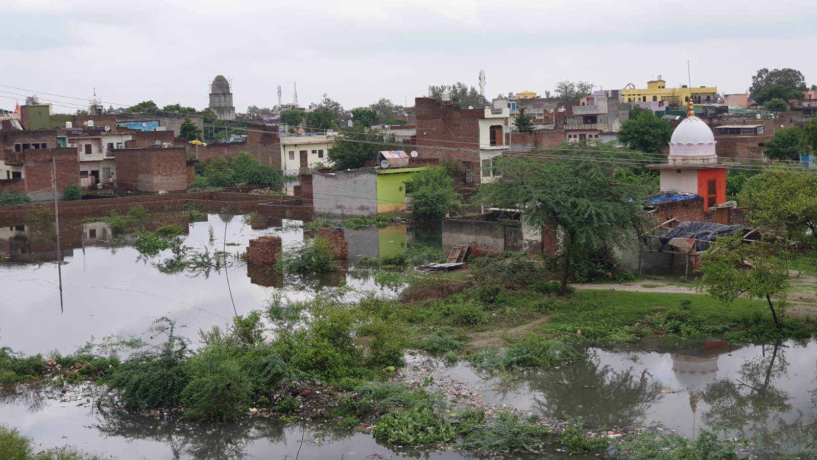
The Yamuna floodplain—locally known as the khadar—stretches along the pilgrimage towns of Mathura and Vrindavan. Despite regulatory prohibitions, the region has witnessed a surge in unauthorized residential colonies, commercial structures, ashrams, temples, and even guest houses in recent years. These developments have not only altered the natural landscape but have also strained the fragile river ecosystem.
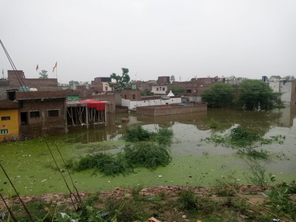
To quantify and mark these intrusions, the MVDA has undertaken a comprehensive two-phase survey operation. The initial phase focused on Vrindavan, stretching from the sacred Kalidah Ghat to Rajpur Khadar village. Executed using aerial drone photography, the survey provided high-resolution images, helping officials precisely identify and geo-tag illegal structures. A total of 1,266 such encroachments were confirmed in this initial stretch alone.
For this project, the MVDA contracted NK Buildcon, a firm with expertise in geospatial surveying. The drone survey was not an isolated effort; it is now being followed by an on-ground verification process. Teams of engineers are being deployed to conduct physical site inspections and validate the findings of the aerial scan.
This integrated approach marks a significant shift in how land-use violations are being monitored—replacing anecdotal evidence and manual documentation with high-tech, geospatially accurate data.
Phase Two: Focus Shifts to Mathura
Following the Vrindavan segment, the second phase of the drone survey will target Mathura. The planned route covers key regions along the Yamuna floodplain, including Akroor village, Ahilyaganj, Laxminagar, Ganesh Tila, and Mokshdham. These areas are also believed to be rapidly urbanizing, with illegal colonies springing up at an alarming pace.
MVDA officials noted that unauthorized development is particularly visible from Keshi Ghat in Vrindavan all the way to Akroor near Mathura. In these zones, not only residential buildings but also dharamshalas (pilgrim rest houses) and ashrams are being erected—many allegedly with the silent complicity of departmental engineers.
The Price of Inaction and Collusion
Despite several earlier attempts at enforcement, the district administration and urban development bodies have struggled to rein in the spread of illegal constructions. Experts and civic activists have often pointed fingers at internal collusion within the system. Field engineers, allegedly turning a blind eye or even facilitating illegal settlements, have made it difficult for regulatory bodies to act decisively.
The MVDA Secretary, Arvind Kumar Dwivedi, confirmed that the drone data is now being analyzed in detail. “Each identified structure will undergo a physical survey. We have formed special engineering teams for this task,” he said. The aim is not only to collect evidence but also to prepare a robust legal case against violators.

A City Rises Where It Should Not
The growing “shadow city” in the floodplain has not just environmental repercussions but also raises questions about urban governance and planning in pilgrimage towns. The encroachment of sacred and environmentally fragile riverbanks—areas historically reserved for religious, ecological, or agrarian purposes—signals a breakdown of traditional land stewardship in the face of rapid urban pressure.
Ghats like Soubhari Van, Varah Ghat, Gaughat, Jugal Ghat, Jagannath Ghat, the Kumbh Mela area, and Panighat have seen mushrooming illegal colonies. Many of these settlements are not just temporary shacks but full-fledged housing developments with cement structures, often advertised and sold without proper clearance.
With high-resolution aerial data, clear evidence, and public pressure mounting, authorities now have an opportunity to correct years of neglect and enforce long-ignored urban planning laws.
Yet the success of this campaign depends on consistent follow-through—enforcement must match the clarity of data. Without systemic reform, including accountability within government departments, drone surveys alone will not stop the steady march of concrete into the river’s floodplain.