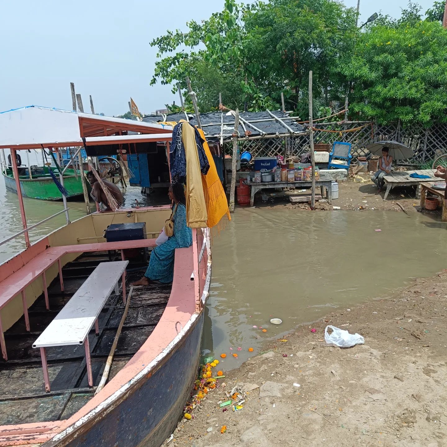
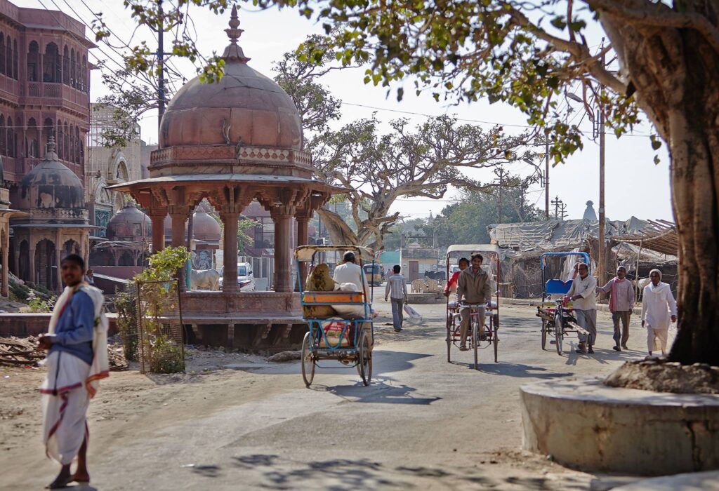
2025.02.04 (Vrindavan Today News): The Yamuna is one of India’s most significant and sacred river. It has witnessed substantial urban encroachment along its banks over the past several decades, particularly in Mathura – Vrindavan. The consequences of unchecked construction, environmental degradation, and recurrent flooding have necessitated definitive action.
The activists have been demanding for the official demarcation of the Yamuna Flood Plain for a long time for a sustainable environmental governance. It is a necessary measure to protect both the ecological integrity of the Yamuna and the long-term safety of communities residing along its banks.
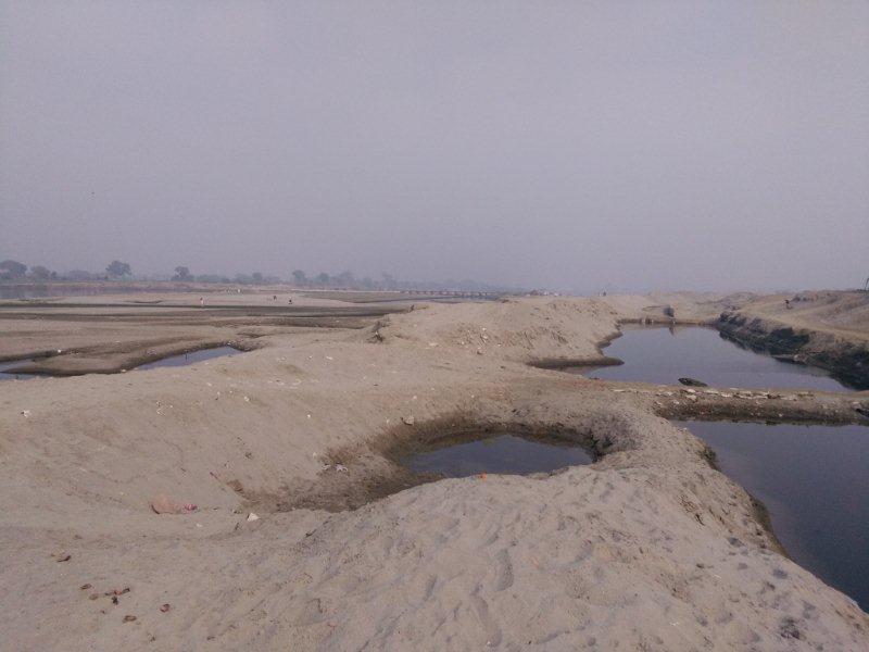
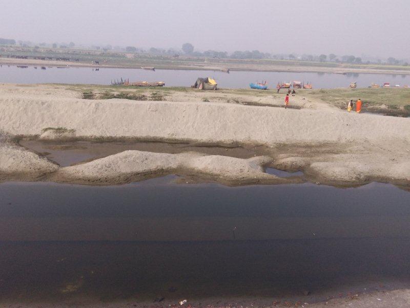
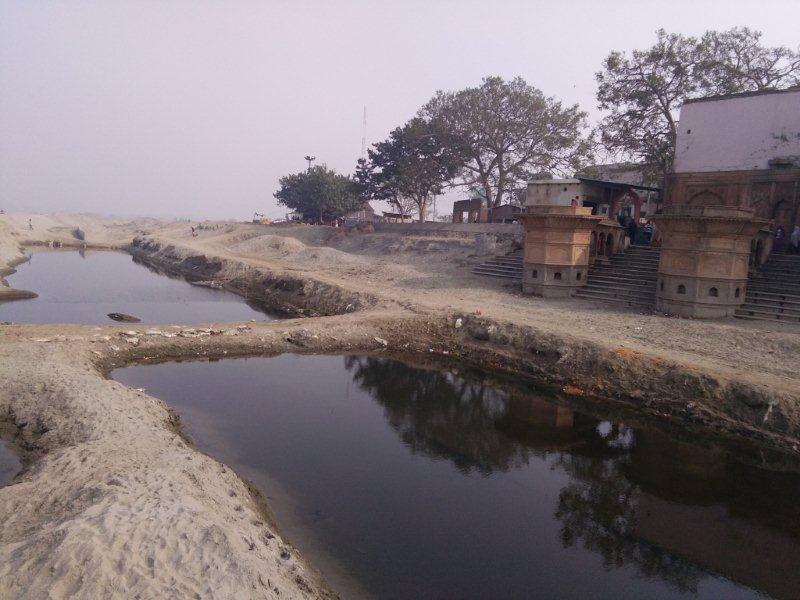
The Central Water Commission has now officially delineated the Yamuna floodplain in Delhi and Uttar Pradesh. The demarcation has been conducted across 17 districts of Uttar Pradesh, covering a 1,056 km stretch from Asgarpur to Etawah and Shahpur to Prayagraj. This decision, backed by scientific studies and satellite imagery, marks a critical step in regulating construction activities along the riverbanks, mitigating flood risks, and preserving the ecological balance of the region.
The demarcation process was undertaken by the Central Water Commission in collaboration with premier research institutions such as the National Remote Sensing Centre, the National Institute of Hydrology, the Ganga Flood Control Commission, and the National Mission for Clean Ganga. Using satellite imagery and historical flood data spanning the last 100 years, experts determined the maximum extent of flooding recorded in the Yamuna’s history, with significant reference to the 1978 flood—the most severe in recent memory.
According to the findings, in Agra alone, the floodplain extends up to 2.55 km on the left bank and 5.09 km on the right bank. In Mathura, the river’s floodplain reaches 4.65 km on the left bank and 3.71 km on the right. Similar measurements have been established across other districts, including Firozabad, Noida, Aligarh, and Prayagraj, ensuring that urban expansion does not encroach upon ecologically sensitive areas.
The move follow the National Green Tribunal (NGT) taking suo-moto cognizance of a news report and ordering the commission to submit a detailed report to the tribunal; an official notification has thus been issued in this regard.
The NGT had imposed a penalty of Rs. 50,000 each on the ministry of Jal Shakti and CWC for failing to determine the Yamuna’s floodplain areas. The Tribunal’s order stated, ‘The issue of rampant and large scale illegal mining destroying sand dunes and ravines near the Taj Mahal and restricted floodplain zones of the Yamuna.” The issue was raised through a petition by Dr. Sharad Gupta, based on a news article published in a national daily in March 2022. The tribunal took cognizance of the matter, exercising suo-moto jurisdiction.
Following the directive, CWC and the Jal Shakti ministry were tasked with marking out the zones . In December, 2024, the commission finalized the flood zone report, detailing latitude and longitude coordinates for the designated areas in 17 districts, including Gautam Buddh Nagar, Meerut, Mathura, Agra and Prayagraj, along with Delhi.
Scientific Basis for Floodplain Delimitation
The delineation of the Yamuna’s floodplain has been a subject of extensive scientific analysis. The Central Water Commission (CWC), in collaboration with research institutions and domain experts, conducted a comprehensive study to ascertain the maximum extent of inundation over the past 100 years. The assessment particularly focused on severe flood events, such as the devastating 1978 deluge, which saw water levels rise to unprecedented levels.
Key findings of the study revealed that in certain areas, the Yamuna’s floodwaters extended several kilometers beyond the riverbanks. For instance:
In Mathura, the floodplain extends 4.65 km on the left bank and 3.71 km on the right bank. In Agra, the maximum flood reach was 2.55 km on the left and 5.09 km on the right bank. In Firozabad, the maximum flood extent was 1.90 km from the river’s edge.
These data points form the foundation of the recently issued government notification, which not only acknowledges historical flood patterns but also provides a clear legal framework for regulating land use along the Yamuna.
Impact on Urban Development and Illegal Construction
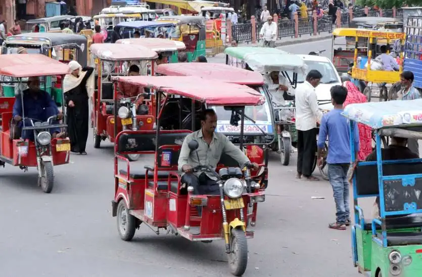
The newly defined floodplain encompasses thousands of existing constructions, many of which were previously sanctioned by local authorities such as the Agra Development Authority (ADA) and Mathura Vrindavan Development Authority (MVDA). It is estimated that over 5,000 structures fall within the floodplain in Agra alone, including residential colonies, commercial establishments, and unauthorized encroachments. Local activists suggest that more numbers of illegal structures comparing to Agra are standing on the Flood Plain Zone in Mathura District.
With the notification in place, all new constructions within these zones are now strictly prohibited. However, the fate of existing buildings remains uncertain, as state and central authorities deliberate on enforcement mechanisms.
This move is expected to curb the rampant unauthorized construction along the Yamuna’s banks, a problem that has persisted due to bureaucratic lapses and a lack of clear regulatory measures. The National Green Tribunal (NGT) has been actively monitoring this issue, and following legal petitions filed by environmental activists such as Dr. Sharad Gupta and social worker D.K. Joshi, the tribunal has consistently advocated for strict measures to protect the Yamuna’s floodplain.
Environmental and Legal Implications
The demarcation of the Yamuna floodplain aligns with global best practices in river management and environmental conservation. Cities worldwide, including London, Paris, and New York, have implemented stringent regulations to prevent urban expansion into floodplains, recognizing the critical role these areas play in groundwater recharge, biodiversity conservation, and flood mitigation.
For India, this decision sets a precedent for similar measures along other major rivers, including the Ganges and Brahmaputra. The Supreme Court and the NGT have previously issued directives to protect river ecosystems, and this latest move demonstrates a growing commitment to sustainable environmental policies.
Additionally, the floodplain demarcation will aid in long-term flood risk management. By restricting construction in vulnerable zones, authorities can minimize the economic and human losses associated with extreme weather events, which are becoming increasingly frequent due to climate change.
Challenges and the Road Ahead
While the notification is a welcome step, its implementation presents significant challenges. The process of identifying and possibly relocating thousands of residents and businesses will require careful planning, legal scrutiny, and financial support from the government. Moreover, effective enforcement will depend on the cooperation of multiple agencies, including the irrigation department, local municipalities, and environmental watchdogs.
Public awareness and community participation will be crucial in ensuring compliance. Many residents may not be fully aware of the ecological and legal implications of building in flood-prone areas. Thus, government-led awareness campaigns, coupled with strict penalties for violations, will be essential in reinforcing the importance of this initiative.