Master Plan earmarks 60% of the 275.91-hectare belt for ashrams and monasteries; yet hotels, restaurants and commercial complexes have mushroomed
Vrindavan Today | Bureau Report
A stretch of land that was supposed to preserve the religious character of Vrindavan is increasingly beginning to resemble a commercial corridor.
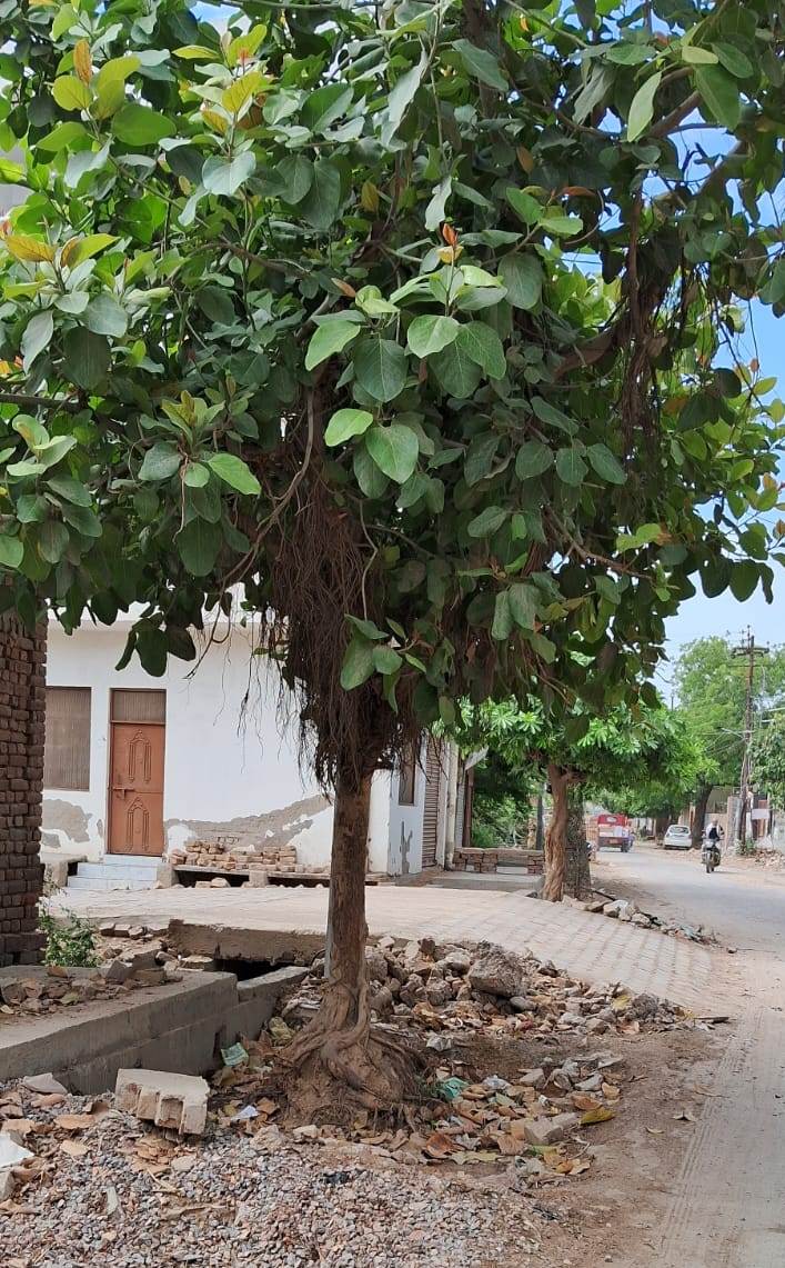
The Vrindavan–Chhatikara Road, one of the important gateways to the holy town, was given a clearly defined character under the Master Plan 2031. A total of 275.91 hectares along the corridor was brought under a special land-use regime, with 60% of the area specifically earmarked for religious places, ashrams and monasteries. But on the ground, the picture appears dramatically different.
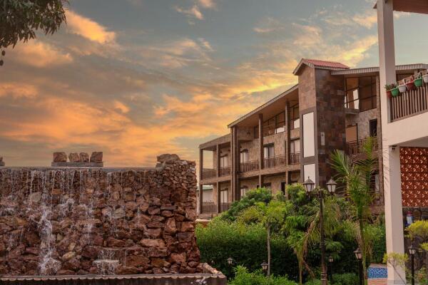
Hotels, restaurants, commercial establishments and other businesses are reportedly operating on land whose designated use is religious.
The question is not whether rules exist, but it is who enforced them?
The Master Plan specifies that the special land-use provisions apply to a depth of 300 metres on either side of the Vrindavan–Chhatikara Road.
The prescribed formula is straightforward:
60% religious use — 40% permissible ancillary activities.
Until a zonal plan is prepared, development proposals are also required to be considered within this framework.
There is another important safeguard. Construction proposals and maps in this area are not supposed to receive routine approval without scrutiny by a special committee comprising senior officials of the Mathura-Vrindavan Development Authority and the Town and Country Planning Department.
If these provisions have been followed, a fundamental question arises:
How did so many commercial establishments come up on land designated for ashrams and monasteries?
And if the provisions were not followed, where was the regulatory machinery when these constructions were being approved?
A religious corridor with commercial footprints
The Master Plan does not merely prescribe the land-use ratio. It also lays down specific development controls.
The norms provide for:
30-metre road right-of-way
Minimum 9-metre setback
3 metres within the setback for plantation
Maximum 40% ground coverage
FAR (floor area ratio) of 2.0
Maximum building height of 15 metres
These restrictions were intended to regulate development and protect the planned character of the corridor.
Yet the emergence of sizeable hotels, restaurants and commercial properties raises questions over whether the prescribed land-use, setback, coverage, FAR and height norms have been consistently enforced.
Was religious land quietly turned into commercial real estate?
The issue is particularly significant because land in Braj is not merely another urban commodity.
The Vrindavan–Chhatikara corridor forms part of the cultural and religious landscape of Braj. The decision to reserve a substantial portion of the belt for religious institutions was presumably intended to protect that character from uncontrolled commercialisation.
If land recorded for religious use is being used for commercial establishments, the matter goes beyond individual buildings.
It raises questions about planning, permissions, monitoring and enforcement.
MVDA promises investigation
MVDA Secretary Ashish Singh has stated that the land-use classification in the Master Plan is for ashrams and monasteries and that this designated use will not be compromised.
He said that if violations have taken place, an investigation would be conducted and action taken against those responsible.
That statement now puts the ball firmly in the authority’s court.
A meaningful investigation would need to establish, among other things:
Who owns the land?
What is its recorded land use?
When were the buildings sanctioned?
Under what category were permissions granted?
Were the 60:40 land-use provisions followed?
Were the special committee’s recommendations obtained?
Were setback, FAR, ground-coverage and height norms followed?
And, most importantly, who was responsible for monitoring compliance?
The larger battle: protecting Braj’s planned character
The controversy is ultimately about more than hotels and restaurants.
For decades, environmentalists and heritage activists have warned that unregulated construction and commercialisation are steadily transforming the landscape around Vrindavan.
The Master Plan already contains provisions intended to regulate that transformation.
The question is whether those provisions remain meaningful on paper alone—or whether the authorities will now examine how a corridor designated substantially for ashrams, monasteries and religious institutions acquired such a significant commercial footprint.
The answer may reveal whether this is simply a case of isolated violations—or evidence of a much deeper failure in planning enforcement.
For Vrindavan, the stakes are larger than another construction dispute.
If the religious character of the corridor was protected on paper but commercialised on the ground, the real story is not just what was constructed, it is how it happened.